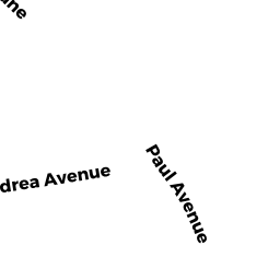
9 PAUL AV
Owner Information
POYANT KEVIN R
12 PAUL AV
LAKEVILLE, MA 02347


Property Details
9 PAUL AV is classified as a other (Cottage).
The primary structure on this property was built in 1960. There are 891ft2 of built area within this property. There is 475ft2 of residential/living space within this property.
9 PAUL AV is valued at $259,800. The land is valued at $239,100 and the structures are valued at $20,000. There is an additional valuation of $700 on this property.
The most recent deed for 9 PAUL AV is recorded at the local registrar in Book 54789, Page 253. 9 PAUL AV was last sold on Wednesday, April 14, 2021 for $89,100.
Assessment data from fiscal year 2022.
Flood Data
This property is partially within the AE Zone (within floodplain). Approximately 0.04 acres (21.31%) of the property is within this zone.
The base flood elevation for this flood zone is 57 feet.
This information is sourced from the FEMA National Flood Hazard Layer. See our full disclamer.
Broadband Internet Providers
| Provider | Type | Bandwidth (mbps) | |
|---|---|---|---|
| HughesNet | Satellite | 25 | 3 |
| Verizon New England Inc. | Fiber | 940 | 880 |
| Comcast | Cable | 1000 | 35 |
| VSAT Systems, LLC. | Satellite | 2 | 1 |
| Viasat Inc | Satellite | 100 | 3 |
| GCI Communication Corp. | Satellite | 0 | 0 |
Broadband service provider data from December 2020.
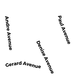
Adjacent Properties
- 17 PINE HAVEN LN
Single Family Residential owned by KIRK CLAUDIA J - 15 PINE HAVEN LN
other owned by ST GELAIS CHARLES & SUSAN F - 12 PAUL AV
other owned by POYANT KEVIN R - 7 PAUL AV
Single Family Residential owned by SCHNEIDER J JOHN EST - LONG POND
Vacant, Selectmen or City Council (Municipal) owned by TAUNTON CITY OF- WATER DEPARTM